MPA Insights

OceanMind at IMPAC5
In February 2023, OceanMind joined partners Blue Nature Alliance, WildAid, Global Fishing Watch, and Skylight for a panel discussion on “The Role and Value of Technology and Partnerships for Improved MPA Management”. Each collaborator presented on the MPA Journey and their role in the overall conservation ecosystem.
In February 2023, OceanMind joined partners Blue Nature Alliance, WildAid, Global Fishing Watch, and Skylight for a panel discussion on “The Role and Value of Technology and Partnerships for Improved MPA Management”. Each collaborator presented on the MPA Journey and their role in the overall conservation ecosystem, Blue Nature Alliance as a funder and convener, WildAid providing end-to-end policy and strategy management, Global Fishing Watch providing data and tools for transparency of global fishing activities, Skylight providing data and tools to understand real time vessel behaviour, and OceanMind drawing on all these elements to provide enforcement implementation that drives through to meaningful action.
Watch the OceanMind segment of the panel presentations below.

Marine Enforcement
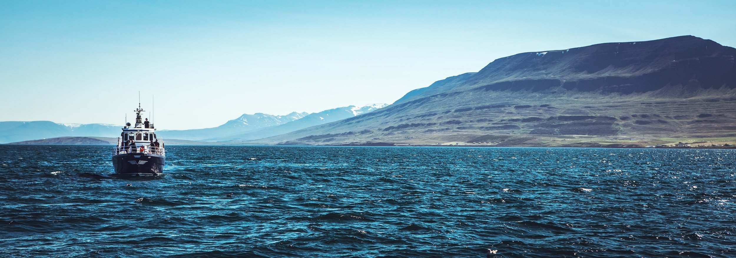
Traditional marine enforcement is typically seen as officers on a patrol vessel interdicting non-compliance at sea. This is the most direct but dangerous form of enforcement to which cost is a regular objection. Modern technology enables different approaches to enforcement that overcomes many of the challenges and makes enforcement of even the remotest location possible.
Most national marine zones are regulated to manage the human activity within them. Enforcement of these regulations is the neverending day-to-day hard work of dedicated individuals who are on the front line of ocean protection ensuring the continuity of ecosystem services that humanity relies on. Unfortunately these practitioners are often overlooked, under resourced, and under-funded for their monumental task.
OceanMind’s mission is to deliver support to enforcement officials to enable access to the best technology, best methodology, and best solutions to meet their individual needs and unique circumstances. Every marine context is different, the data and tools available and needed vary, as do the rules and regulations. Desired outcomes are context dependent. The experience and resourcing of practitioners is diverse. There is no one-size-fits-all solution.
OceanMind works with practitioners to understand their needs, capacity and capabilities, resources, and goals. We help implement comprehensive enforcement plans to ensure the best data, tools, and solutions are employed to most effectively drive compliance.
“If we enforce existing marine regulations more effectively, we get immediate benefits from reduced human activity”
By supporting marine enforcement practitioners on a global basis to effectively enforce their existing regulations we can dramatically reduce overall human impact on ocean ecosystems, providing the ocean with the space to recover and thrive. All of the data, tools, and practices are already available to enable this transformation – in many cases nothing new is required. The missing link is to provide access to these capabilities to practitioners and funding to implement them.
Although every context is unique, there are commonalities between locations. Size, proximity to regulators, availability and accessibility of resources all impact the ability to enforce effectively. Select from the links below to find out more.

How enforcement and compliance with regulations protects our oceans
The oceans are home to some of the most diverse ecosystems on Earth and our survival depends on their ability to thrive. The oceans are also wild, vast, and remote, making protecting those species a challenge for humans to undertake alone.
One of the ways we can ensure the long-term conservation and protection of the ocean is to establish marine protected areas, but the solution may not be solely in the creation of new reserves. It can also be found in enforcing the regulations that already exist.
98% of the world’s oceans are covered by regulations designed to protect it; enforcing these regulations is the key to preserving them for our future.
The oceans are home to some of the most diverse ecosystems on Earth and our survival depends on their ability to thrive. The oceans are also wild, vast, and remote, making protecting those species a challenge for humans to undertake alone.
One of the ways we can ensure the long-term conservation and protection of the ocean is to establish marine protected areas, but the solution may not be solely in the creation of new reserves. It can also be found in enforcing the regulations that already exist.
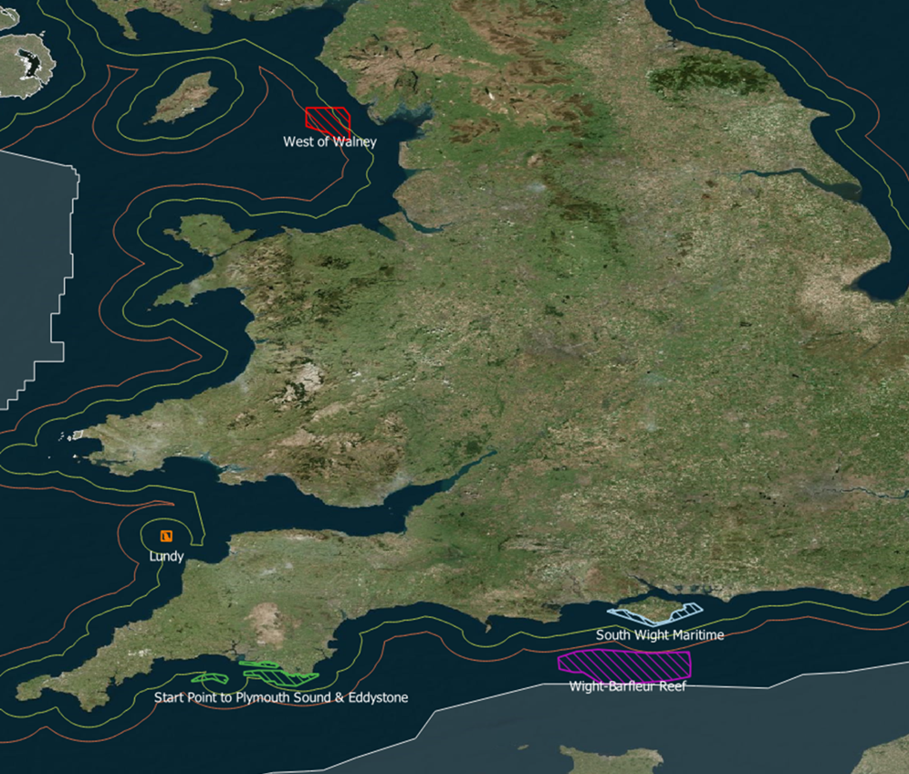
Marine protected areas are clearly defined geographical areas designed to limit human activity on the ocean to enable preservation of the marine environment for several reasons, including safeguarding biodiversity, species protection, and the protection of economic resources. There are almost 15,000 Marine Protected Areas around the world, with 72% of the global protected area consisting of just 36 large protected areas. Many small island nations are tasked with enforcing regulations across vast marine protected areas with limited human capacity and financial resources. This is where satellite-enabled remote sensing can support the protection of these vast ecosystems.

Underwater photograph of fish in Ascension Island. Photo credit: UK Blue Belt Programme
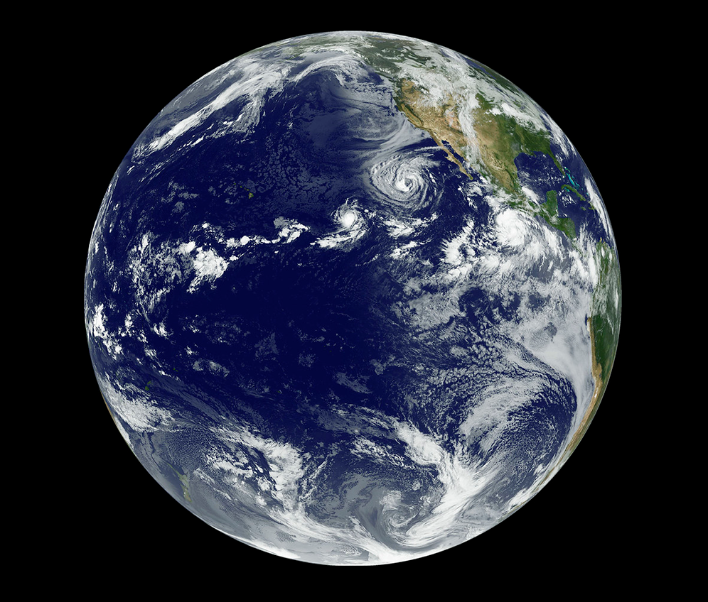
At any one time there are many thousands of satellites in orbit around the Earth that provide us with information about our environment, including human activity on the oceans that goes beyond our visual line of sight.
Vessel monitoring systems and automatic identification systems transmit signals through a vessel’s onboard transceiver that are received by satellites. This data can be used to identify vessels and map their course, position, and speed, enabling enforcement authorities and expert analysts to build a picture of the vessel’s suspected activities and take appropriate action such as further investigation.
However, these systems cannot be solely relied upon to identify all instances of potentially destructive human activity at sea. These systems can be tampered with, so they transmit false identification or location information, or even switched off completely turning a vessel ‘dark’. Synthetic Aperture Radar and Electro-Optical satellites create images of vessels at sea that can be correlated against vessel tracking data. If a vessel appears on an image but there is no corresponding AIS or VMS tracking data at that time, it is a likely indicator of a ‘dark vessel’ which may be operating illegally or carrying out unreported or unregulated activity. Intelligence about this vessel’s potential activities can be sent to the authorities who are then empowered to investigate further.
Collecting and processing remote sensing data over millions of square kilometres of ocean to enable the protection of large scale marine protected areas is an impossible task for humans to undertake alone. With support from cloud computing artificial intelligence and machine learning algorithms, OceanMind can collate large amounts of data to accurately detect activities that might require further investigation by enforcement authorities within a matter of hours.
Investigation of suspected activity cannot happen without the support of expert analysts who have been trained to look for the patterns identified by the machine learning algorithms and produce risk assessments to help the authorities focus their efforts and resources.
Many of the UK Overseas Territories that are responsible for protecting the UK Blue Belt may only have a single patrol vessel available to them to carry out enforcement across these large protected areas. OceanMind’s expert analysts can both help to identify the biggest risks in terms of vessel activity and efficiently direct patrol assets, as well as continuing to monitor ongoing activity by other vessels across the marine protected area while the patrol vessel is investigating.
The OceanMind solution makes the invisible, visible, and the unknown, known.
To ensure that the systems in place are effective and sustainable for the long-term protection of marine protected areas, capacity development and training are an integral part of the support that is needed to ensure effective enforcement and compliance with marine protection regulations.
It is vitally important that any system or analysis method adopted by enforcement authorities is tailored to meet the individual needs and requirements for protecting the identified area. Every marine protected area around the world has different rules regarding the management and protection of the habitat and species that reside or transit through that area. This adds an additional layer of complexity that requires both expert and local knowledge to interpret and develop strategies for preventing potential IUU fishing or environmental pollution incidents.
Combining satellite-enabled technology with big data processing, expert analysis and capacity development is the key to enforcing the marine protection regulations that cover large scale protected areas and ensuring a healthy future for us all.

A clownfish in coral. Photo credit: UK Blue Belt Programme
Over the past four years alone, OceanMind’s analysts have monitored over 460 million square kilometres of satellite radar imagery covering ocean across seven overseas territories as part of our work supporting the UK Blue Belt programme. We have provided more than 175 days of real-time support for patrol vessels, enabling targeted investigations of suspected illegal activity in marine protected areas. We have further supported the UK Government’s Marine Management Organisation in developing the skills and capacity required to analyse remote-sensing data and take action to protect our ocean.
Contact us to find out more and work with us.

How can UAVs help us protect our oceans from illegal, unreported, and unregulated fishing?
We have been working alongside the Department of Fisheries and Oceans Canada with enforcement authorities in Costa Rica and Senegal, and UAV organisations Marble and Aeromao on a project to test this new way of providing extended monitoring, control, and surveillance support.
OceanMind has been working alongside the Department of Fisheries and Oceans Canada with enforcement authorities in Costa Rica and Senegal, and UAV organisations Marble and Aeromao on a project to test this new way of providing extended monitoring, control, and surveillance support.
To date, we have conducted over 40 successful test flights in both nations and are continuing to explore how this technology can be used around the world to empower enforcement and compliance to protect the world’s oceans.
Find out more about our work in this short film produced in Costa Rica

Emma Seal, Fisheries Analyst at OceanMind, works with the Costa Rican coastguard to monitor the UAV flight data