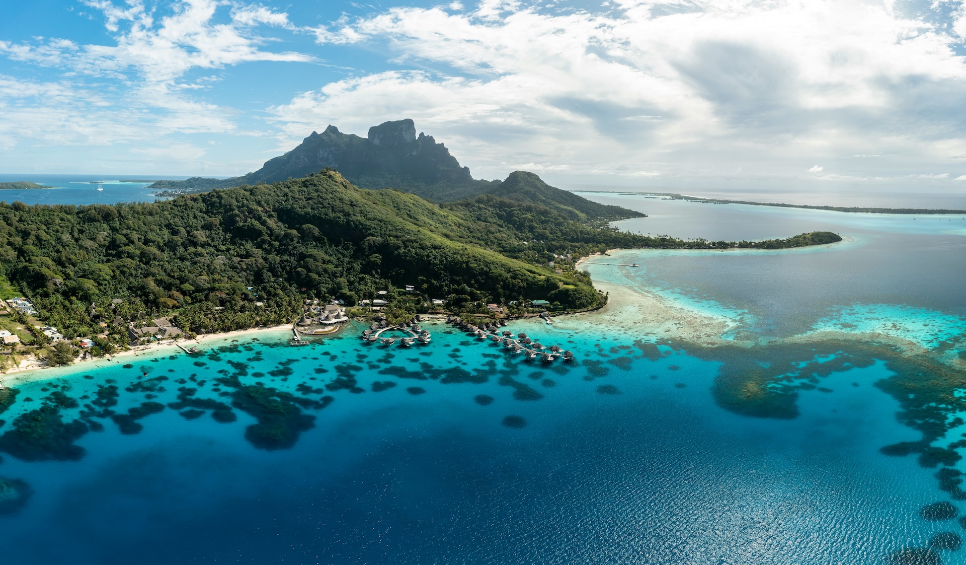
French Polynesia recently made ocean conservation history. In June 2025 on the opening day of the United Nations Ocean Conference (UNOC), President Moetai Brotherson announced the island nation had designated its entire Exclusive Economic Zone a marine protected area (MPA) — establishing the world’s largest at 4.8 million square kilometres.
Within this massive protected area, ~1.1 million square kilometres will be fully protected (Class I) or highly protected (Class II) zones where fishing or extractive activities are completely prohibited or heavily restricted. To put this in perspective, even just the highly protected area is around twice the size of continental France, while the entire MPA is more than five times larger than all marine protected areas in Europe combined. (Across OceanMind’s portfolio of work, we monitor a similarly expansive 4.5 million square kilometres, so we’re no stranger to the true size and scale of French Polynesia’s new MPA.)
This historic designation matters because MPAs are ocean lifelines. Globally, they serve as havens for millions of marine species that support the entire ocean food web, providing refuge for more than two-thirds of threatened marine species. They’re also economic powerhouses and foster biodiversity, enabling ocean life to better adapt to the effects of a changing climate.
French Polynesia’s MPA designation has been rightly celebrated, from mainstream media to ocean conservation NGOs. For the government and its agencies, implementing the MPA comes next. As they do so, they’ll tackle five core challenges:
These challenges are neither unique to French Polynesia, nor are they insurmountable. In OceanMind's experience ensuring the sanctity of ~5 million square kilometres of MPAs spread across every ocean basin, there are a suite of tools and best practices that help jurisdictions bridge from MPA designation to effective realisation. They include:
MPAs — especially large, remote ones — can be challenging to effectively enforce (1, 2, 3). But new research published earlier this month delivered some welcome news: “little to no industrial fishing occurs in fully and highly protected marine areas.”
Researchers found that, on average, fully protected MPAs had just one fishing vessel per 20,000 square kilometers during satellite overpasses — a density nine times lower than unprotected waters in nearby EEZs.
Smart tech — including AI and satellite-based tools — are helping governments combat illegal, unreported, and unregulated (IUU) fishing and preserve the integrity of their MPAs.
And on World MPA Day, here at OceanMind we’re proud to be part of the solution. For more than a decade, we’ve used satellites, AI, and human expertise to support enforcement across more than 5 million square kilometers of protected waters worldwide.
OceanMind has conducted multiple fisheries compliance assessments in the South Pacific, such as in the Pitcairn Islands to the east of French Polynesia, around Easter Island (Rapa Nui), and along the Chilean coast. Beyond the Pacific, we’ve supported MPA monitoring and enforcement for other remote archipelagos, such as Tristan da Cunha in the South Atlantic.
French Polynesia's historic designation represents ambitious ocean protection at unprecedented scale. On this World MPA Day and beyond, smart technology use will be key to turning that kind of ambition into reality, safeguarding the ocean that sustains us all.
image: Unsplash | Fabien Bellanger