Chile has just taken a major step in ocean conservation — one that’s turning heads well beyond South America. On March 10, under President Gabriel Boric, the country formally expanded its network of marine protected areas (MPAs). This now puts more than half of its ocean waters under safe keeping with formal environmental protections. In doing so, Chile now oversees the world’s third-largest no-take zone in the world, helping set a global benchmark for large-scale ocean stewardship.
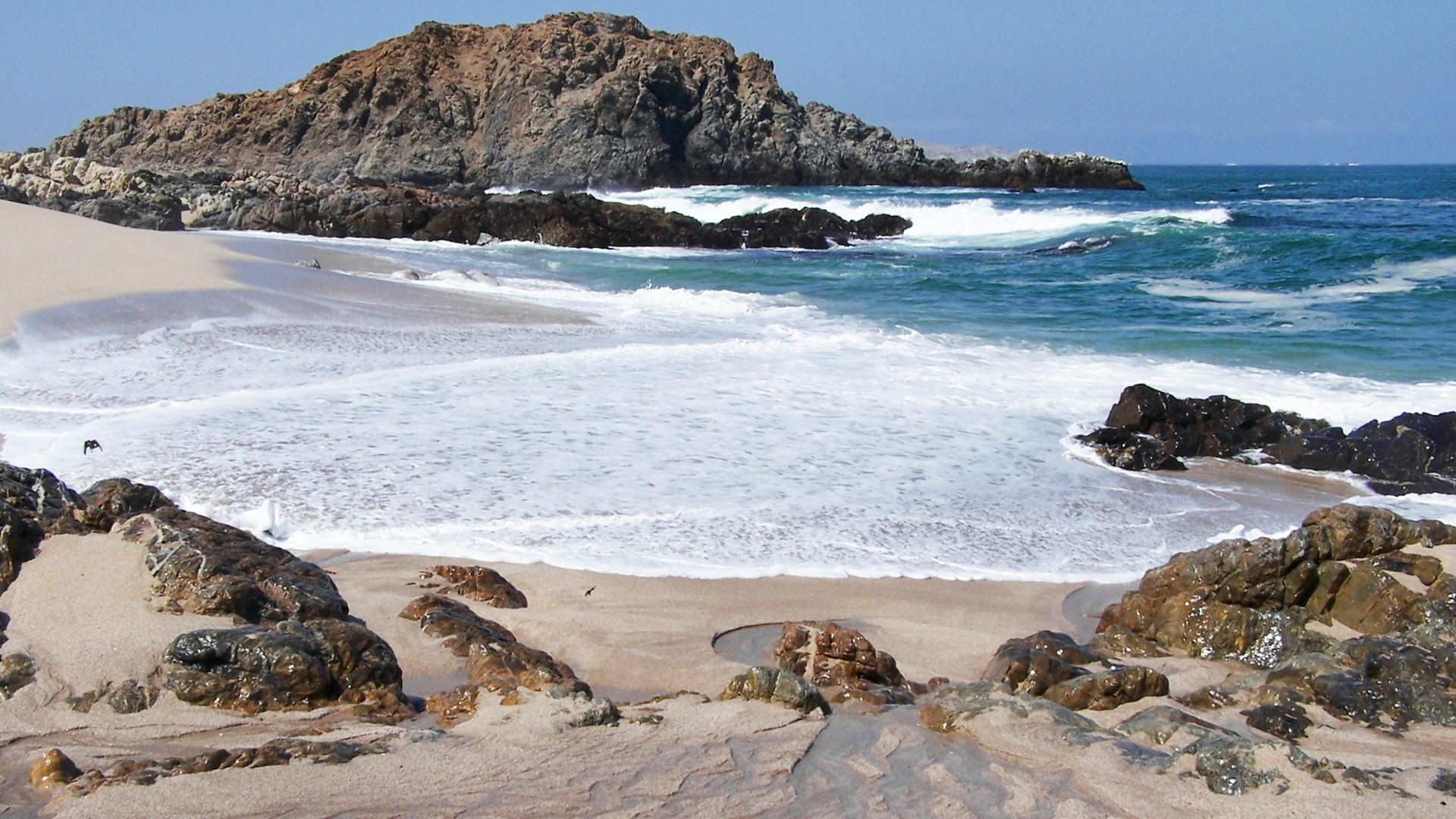
The expansion centers on remote island chains in the southeastern Pacific, including the Juan Fernández and the Nazca-Desventuradas marine parks. Known for their extraordinary biodiversity, these waters boast a high concentration of species found nowhere else on Earth. By fully protecting 337,000 square kilometres of ocean in these regions — and bringing the total protected area to roughly 900,000 sq km — Chile is safeguarding critical habitats for migratory and endemic species alike, from whales and sea turtles to unique fish and invertebrates.
Now, as the country continues to build on years of conservation efforts, the focus moves to stepping up enforcement to ensure these protections are more than words on a page.
Implementing MPA policy requires understanding what’s happening around and within protected waters — a tall order for any agency guarding huge expanses of ocean.
The enforcement challenge is particularly acute in Chile, now that its protected waters have swelled by an area roughly the size of the entire nation of Finland. The region of the newly designated MPA is home to fewer than 1,000 residents, with no civilian inhabitants at all in the Desventuradas Islands. This means local enforcement resources are inherently limited, and any major ports or enforcement infrastructure hubs are few and far away.
In vast, remote waters like these, it’s especially urgent that enforcement is powered by modern tools and capabilities. After all, patrol vessels and aircraft can cover only so much distance in so much time, so when they do deploy, they need more than guesswork to steer the course.
The good news is the tools exist and are already being used in targeted ways to keep enforcement from flying blind in critical monitoring and control activity.
In recent years, Chile has been harnessing technology to track vessel activity across its waters. When OceanMind first worked with the Chilean government in 2017, the focus was on bringing satellite data and emerging analytics to support monitoring and analysis of activity in Chile's exclusive economic zone (EEZ) waters. At the time, we were able to track thousands of vessels operating in Chile's waters, including spotting hundreds of suspicious activities.
It was clear even then from the data that a combination of foreign-flagged distant water fleets (DWFs) and "dark" vessels were pointing to high risk that illegal, unreported, and unregulated (IUU) fishing was taking place within protected waters.
Since then, much has changed. Chile has officially protected more of its waters. Potential IUU fishing from DFWs has escalated, especially from China (and sometimes operating just outside of Chile's EEZ boundary, beyond jurisdiction). The Chilean Navy has been monitoring closely, using satellite imagery and analysis to help focus air and sea patrol on areas with the highest risk of illegal activity.
At the same time, the tools that are available for enforcement have also evolved significantly. By combining high-resolution satellite imagery with advanced machine learning, authorities can detect suspicious patterns or behaviour in near real time, including vessels entering restricted zones or going dark by disabling tracking systems.
Advanced monitoring tools mean that today more than ever, enforcement efforts can focus on the highest-risk areas, making each patrol more targeted and effective.
For Chile, officially protecting more than 50% of its EEZ waters is an incredible place to start. More data-driven enforcement comes next.
With greater visibility from remote monitoring, AI, and data science and analysis, patrols across Chilean waters can reach illegal fishing vessels faster and more efficiently, providing compelling evidence for prosecutions to take place.
An even broader ripple effect is possible, too. As countries around the world work toward the Kunming-Montreal Global Biodiversity Framework’s goal of protecting 30 per cent of the ocean by 2030, Chile’s MPA expansion blows that goal out of the water. This policy initiative is inspiring. By strengthening enforcement capabilities, Chile’s implementation efforts could be a powerful example to others as well.
In OceanMind's experience ensuring the sanctity of ~5 million square kilometres of MPAs across every ocean basin, there are a suite of ‘precision regulation’ tools and best practices that help jurisdictions bridge from MPA designation to effective realisation. We’ve already deployed them to support efforts as varied as compliance assessments in the Pitcairn Islands near French Polynesia, and MPA monitoring and enforcement for remote archipelagos like Tristan da Cunha in the South Atlantic.
Chile’s maritime policy leadership represents the ambition the world needs to protect our ocean. With a coordinated approach to monitoring, control, and surveillance, bold efforts like Chile’s can move from designation to realisation.
hero image: pexels / Tom D'Arby